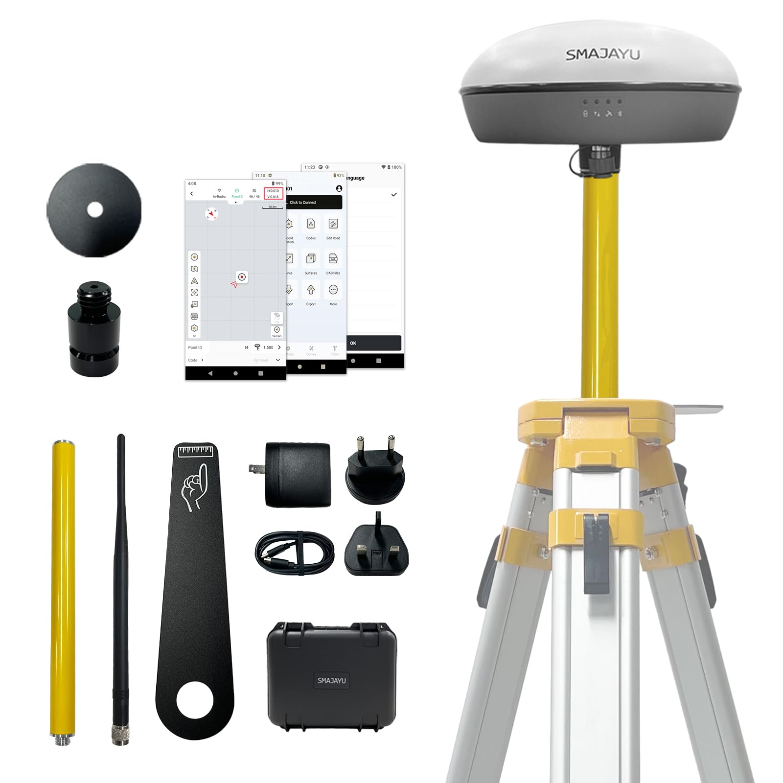
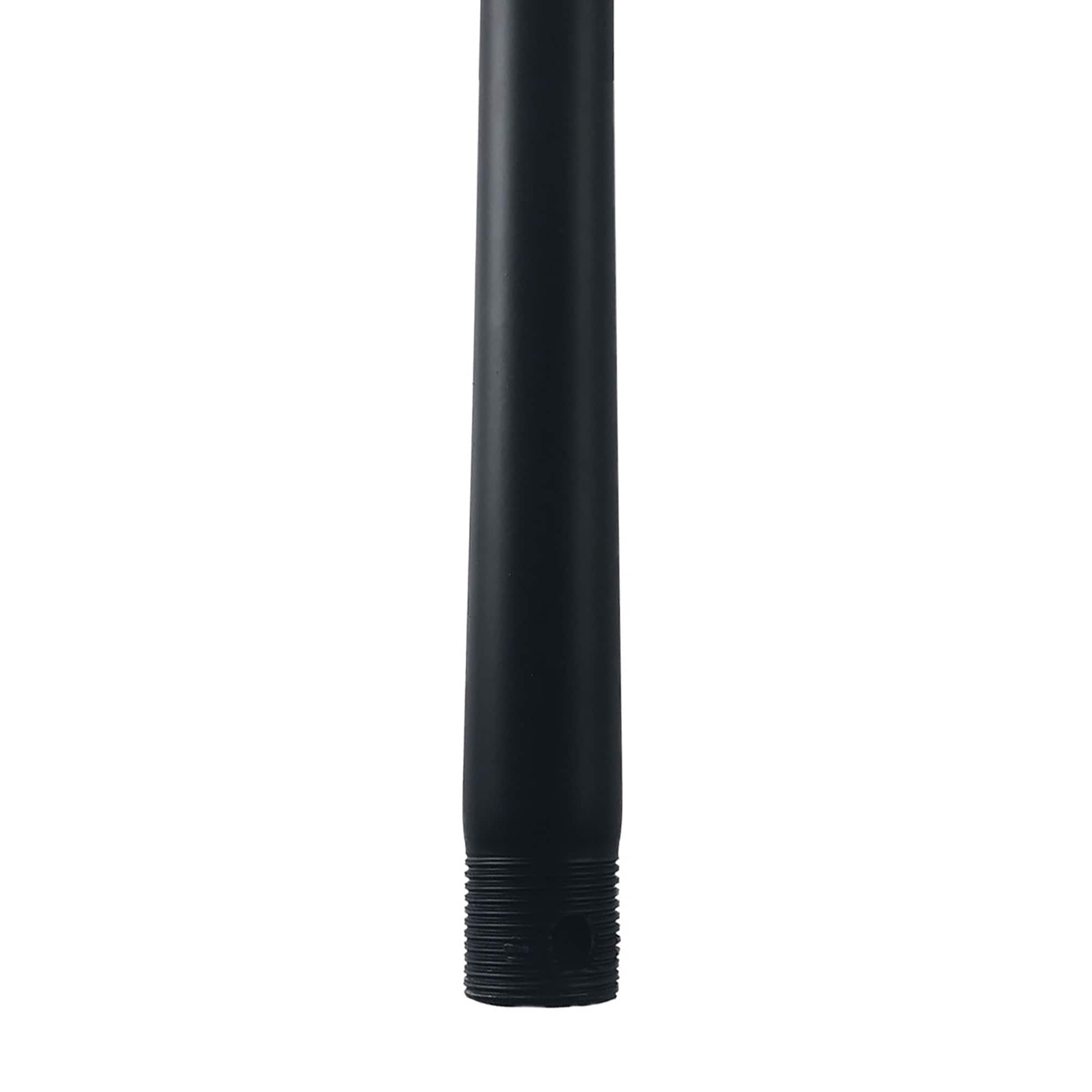
GPS Surveying Equipment Rover Base Switched Freely,Surveying Software Included,PPP RTK PPK IMU GNSS Receiver, 2.5mm Static Accuracy, Coodinates
$1,083.00
| Brand | SMAJAYU |
| Merchant | Amazon |
| Category | Telephony |
| Availability | In Stock Scarce |
| SKU | B0DHRDW7WZ |
| Age Group | ADULT |
| Condition | NEW |
| Gender | UNISEX |
About this item
GPS Surveying Equipment Rover Base Switched Freely,Surveying Software Included,PPP RTK PPK IMU GNSS Receiver, 2.5mm Static Accuracy, Coodinates
Advantages: ① Static and Base dual mode simultaneously works, PPK surveying and PPK calculation on “SMA SURVEY” APP ②NOAA certification: SMA20RTK is antenna name of NOAA registered ③Compatible with SMA26 static for PPK. ④PPP method: PPP method by Galileo HAS correction; ⑤Rinex logging enabled which can export rinex files directly to PC; ⑥Ntrip network connection supported by login a CORS account on “SMA SURVEY” APP Capability: Full-Constellation, one GNSS receiver free switching between rover and base station. ①1cm RTK accuracy and 0.25cm static accuracy ; ②30°tilt 2.5cm accuracy (horizontal),max. angle 60°tilt, ; ③long endurance battery:10hours for base under continuous work of each battery charge; ④2.5cm accuracy by PPK method; ⑤2.5cm RTK accuracy by Ntrip network station ⑥Able to starting with fixed point to make sure higher accuracy Multiple Frequency, Offers higher accuracy and Stability,Stronger Resistance,Faster Convergence time Differential technology: RTK, PPP, PPK,Static Supported protocols: TRIMATLK, TRIMMARK Ill, TT450S, TRANSEOT, Satel 3AS 4FSK Frequency: 900Mhz Packing list Set: One gnss receiver and surveying software for android device(phone,tablet,collector). Excludes collector and tripod Activated "SMA SURVEY" software included and free download. SMA20 RTK is the ultimate tool for high-accuracy land surveying SMA20RTK basic capability including: Multiple constellation; RTK,PPK,PPP correction mode; Static and Rinex logging; UHF internal radio; Network CORS station connection; Static and basic work simultaneously; RTK technology redefines precision. With horizontal accuracy of ±10mm and vertical accuracy of ±18mm Input and output Data format supports RTCM3.X and NMEA-0183 What application is RTK gps used for? Example: For civil engineering projects; For topographic surveys For Infrastructure development For mining and quarrying For environmental monitoring For utility mapping PPK no need real time connection, so the distance can be in 25km between rover base by PPK The SMA20’s multiple surveying modes significantly enhance its versatility, making it suitable for a wide range of applications and environments. How to pair and what modes can use? 1. Base static and Rover PPK 2. SMA20 Static simultaneously as base for SMA26 RTK. 3. SMA20 Rover PPK and SMA26 static 4. SMA20 rover and base RTK surveying 5. SMA20 rover use network CORS correction. 6. SMA20 rover do PPP Hear customer voice to know why choose SMA20RTK! One of buyer said: The product was well packaged and customer service on point and the communication is very effective. Their respend to issues and try to help. I will recommand them to every one. Upgrade your Surveying Game with SMA20 RTK’s Advanced Tech! Welcome to inquiry SMAJAYU!
| Brand | SMAJAYU |
| Merchant | Amazon |
| Category | Telephony |
| Availability | In Stock Scarce |
| SKU | B0DHRDW7WZ |
| Age Group | ADULT |
| Condition | NEW |
| Gender | UNISEX |
Similar Products


Compare with similar items
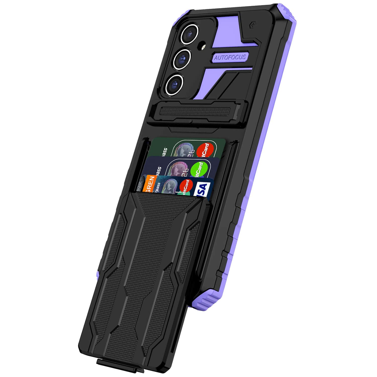
Niuuro for Samsung Galaxy A54 5G Wallet ... |

Misxi [2 Pack] Waterproof Hard Case with... |

ZZDZZ Magnetic Band Compatible with Sams... |
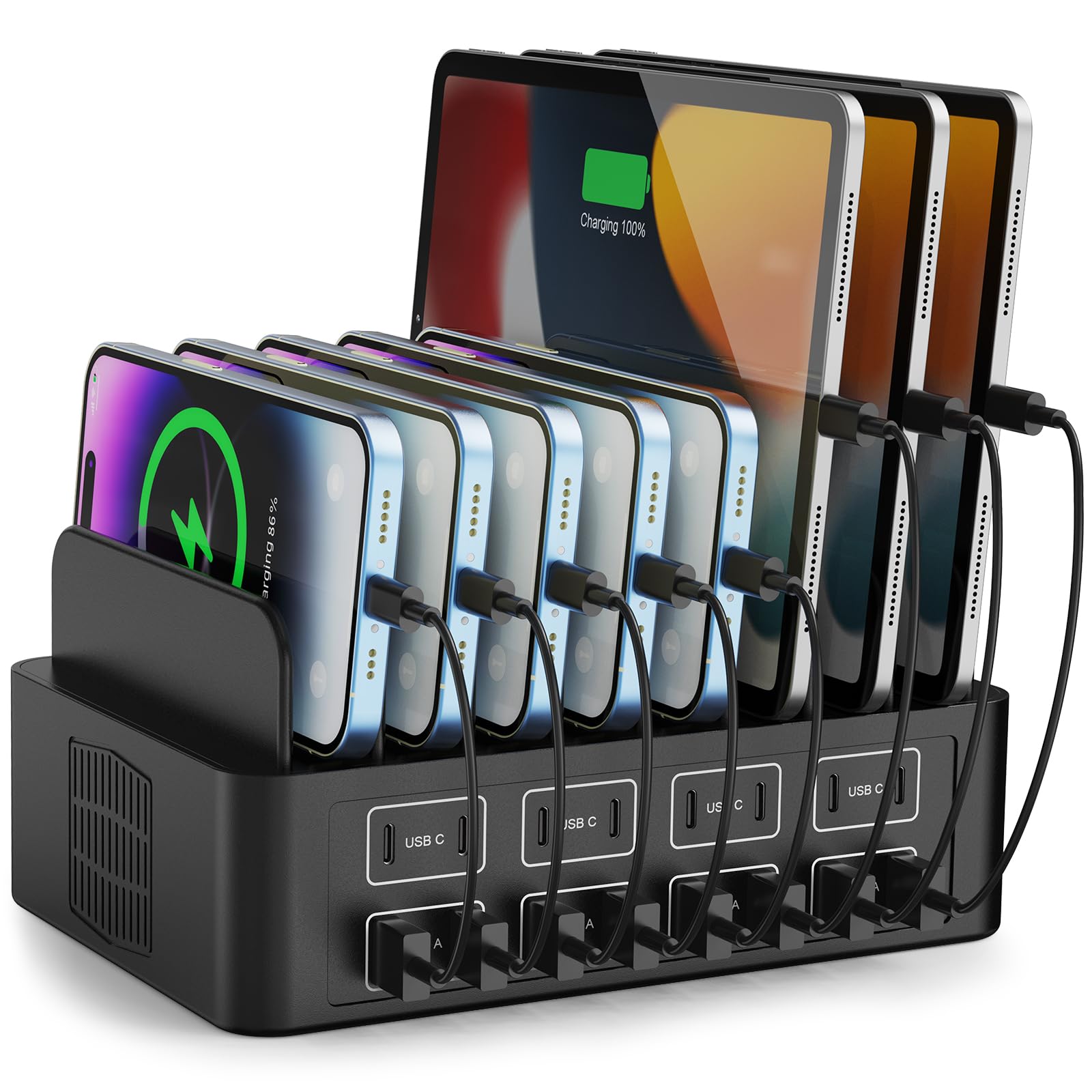
150W/35A Charging Station for Multiple D... |
|
|---|---|---|---|---|
| Price | $9.99 | $9.96 | $18.99 | $47.49 |
| Brand | Niuuro | Misxi | ZZDZZ | RUANSZZ |
| Merchant | Amazon | Amazon | Amazon | Amazon |
| Availability | In Stock Scarce | In Stock | In Stock | In Stock |