Cherokee National Forest (Watauga and Unaka Ranger Districts) Map
$29.95
| Brand | U.S. Forest Service |
| Merchant | Amazon |
| Category | Office Supplies |
| Availability | In Stock Scarce |
| SKU | B083NWCW1Y |
| Age Group | ADULT |
| Condition | NEW |
| Gender | UNISEX |
| Material | plastic |
| Google Product Category | Office Supplies |
| Product Type | Office Products > Office & School Supplies > Education & Crafts > Geography Materials > Maps |
About this item
Cherokee National Forest (Watauga and Unaka Ranger Districts) Map
Year - 2016 Scale - 1:63,360 Topo Contour Lines Weatherproof Plastic Printed in U.S.A.
Located in the Southern Appalachian Mountains of east Tennessee, the Cherokee National Forest is approximately 650,000 acres in size, making it the largest tract of public land in the state. Separated into northern and southern sections by the great Smoky Mountains National Park, this map covers the Northern section which spans seven counties (Johnson, Carter, Sullivan, Washington, Unicoi, Green, and Cocke) and two ranger districts, Watauga and Unaka. National forests in North Carolina and Virginia adjoin this section of the Cherokee National Forest but are not completely shown on this map.
| Brand | U.S. Forest Service |
| Merchant | Amazon |
| Category | Office Supplies |
| Availability | In Stock Scarce |
| SKU | B083NWCW1Y |
| Age Group | ADULT |
| Condition | NEW |
| Gender | UNISEX |
| Material | plastic |
| Google Product Category | Office Supplies |
| Product Type | Office Products > Office & School Supplies > Education & Crafts > Geography Materials > Maps |
Similar Products


Compare with similar items

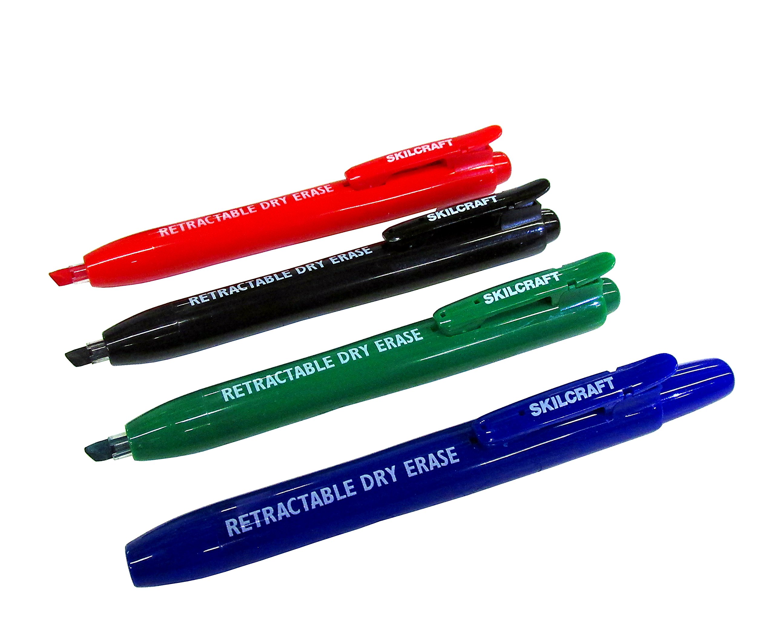
BIC Cristal Original Ballpoint Pens, Eve... |

Vintage PostCards 24 pcs Film Noir Vinta... |
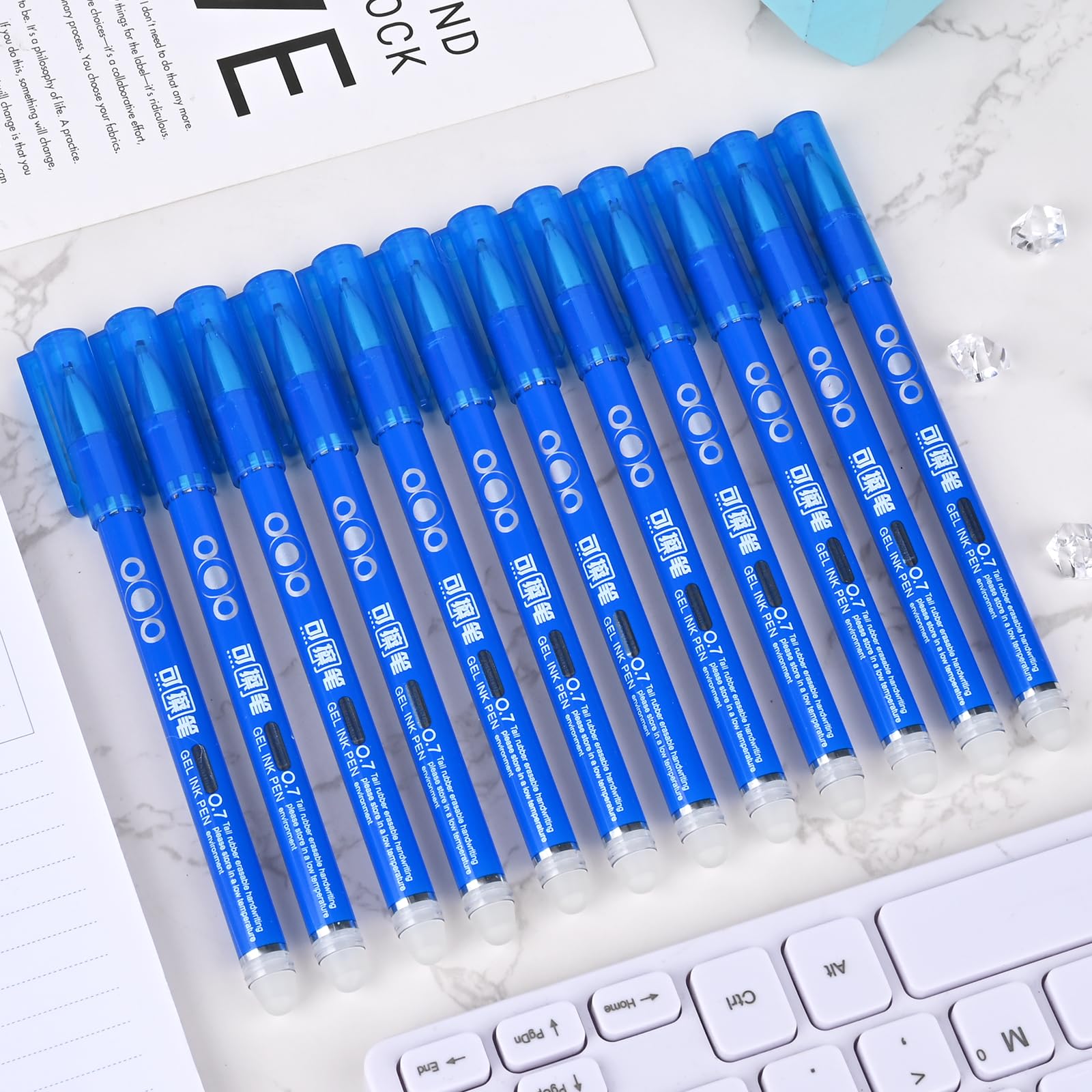
Temiary 12Pcs Erasable Gel Pens, Fine Po... |
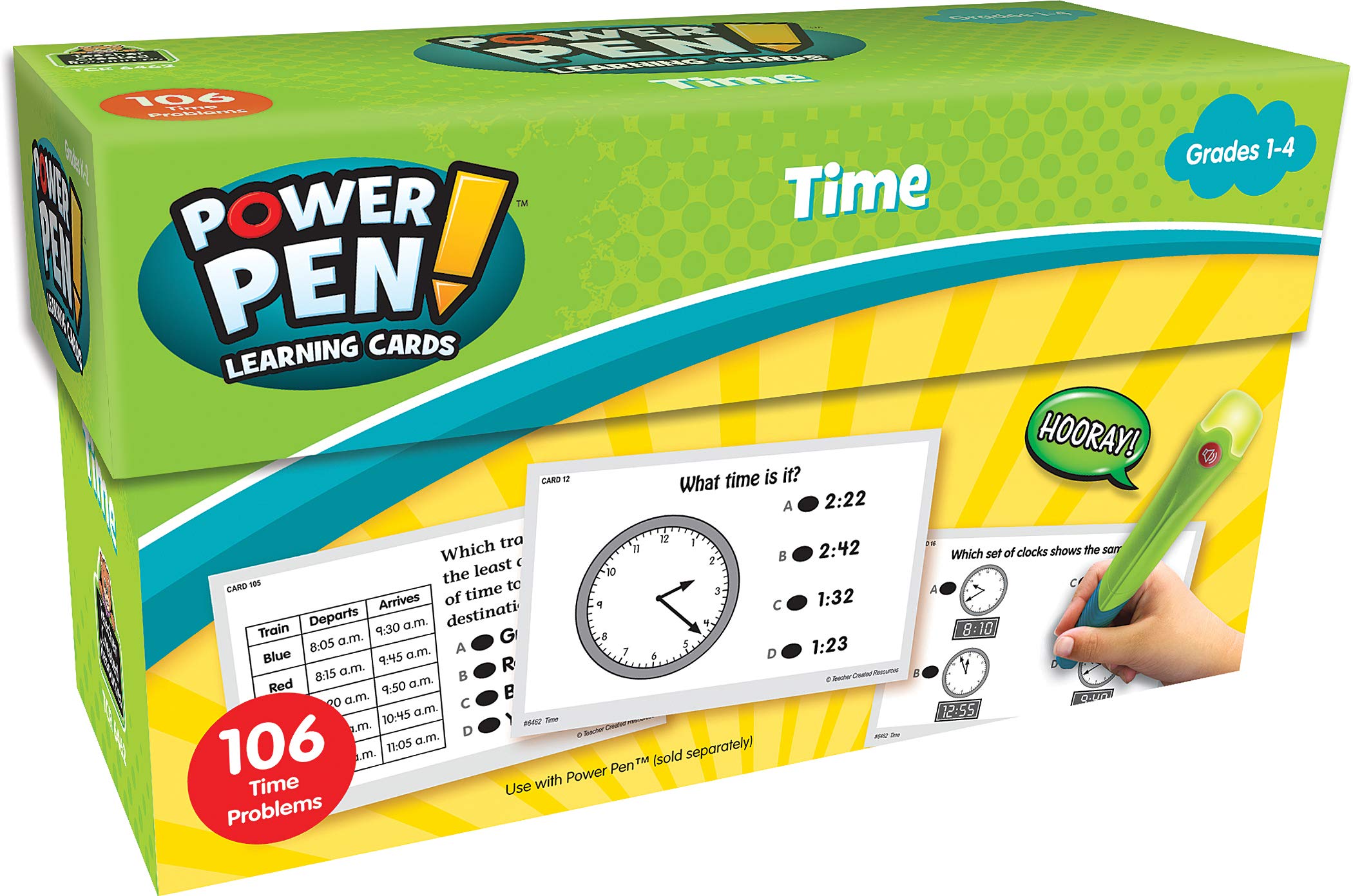
Teacher Created Resources Power Pen Lear... |
|
|---|---|---|---|---|
| Price | $39.80 | $12.99 | $7.38 | $20.00 |
| Brand | BIC | PIXILUV | Temiary | Teacher Created Resources |
| Merchant | Amazon | Amazon | Amazon | Amazon |
| Availability | In Stock Scarce | In Stock | In Stock Scarce | In Stock |